LeafTrack
Revolutionizing ecosystem monitoring with satellite images and blockchain technology.
Created on 19th February 2023
•
LeafTrack
Revolutionizing ecosystem monitoring with satellite images and blockchain technology.


The problem LeafTrack solves
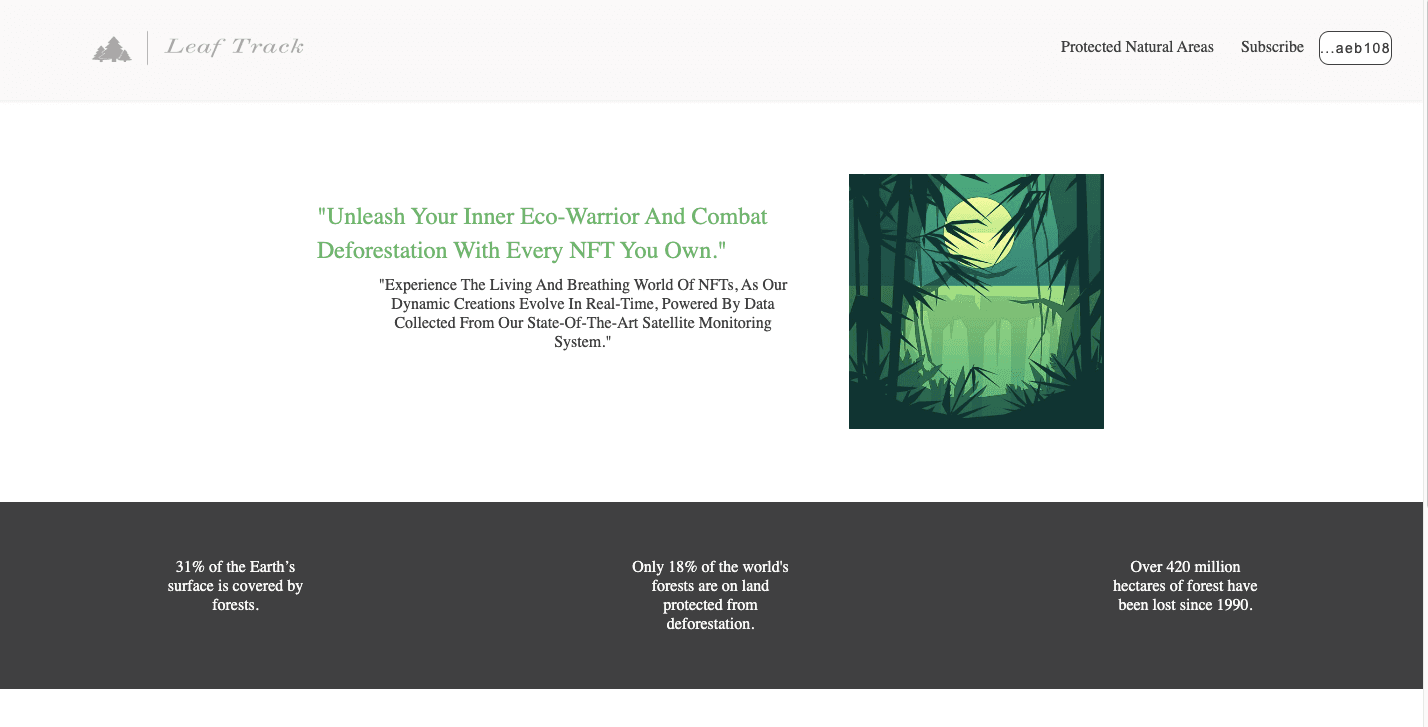
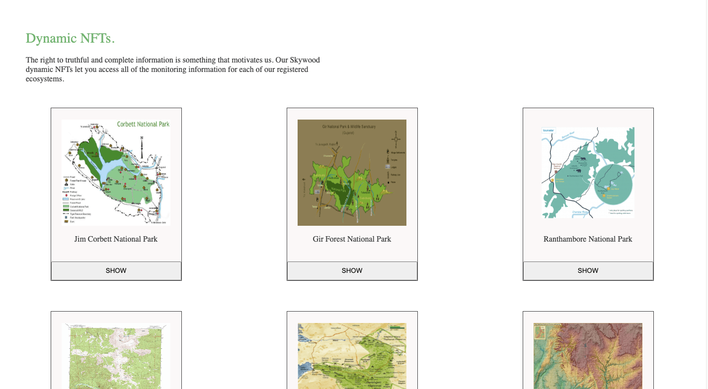
LeafTrack is a remote sensing service that utilizes free, high-resolution satellite images to monitor the vegetation layer of a given area, such as a nature reserve. The service provides detailed information about the vegetation, including its health, growth, and distribution, through the use of advanced algorithms and machine learning models.
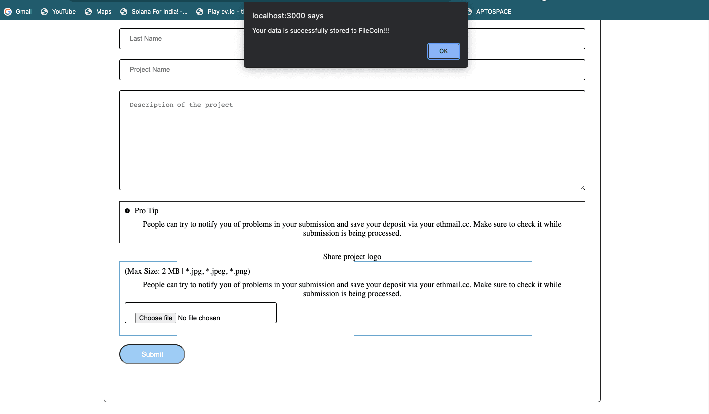
This information is then stored in a blockchain-based system, which ensures its immutability and transparency. The blockchain system also allows for secure and decentralized data sharing among relevant stakeholders, such as researchers and conservationists.
By leveraging this technology, LeafTrack acts as an early warning system for any changes in the vegetation layer, enabling reserve managers to make well-informed decisions in a timely manner. This can include identifying areas that require more attention or intervention, such as those affected by invasive species or climate change
Challenges we ran into
Specific bugs or hurdles that we encountered in the LeafTrack project include issues with satellite image processing, inaccuracies in machine learning models, and security vulnerabilities in the blockchain-based system.
These challenges was addressed through rigorous testing and continuous improvement of the system's components.
Tracks Applied (8)
Polygon: Open Track

Polygon Technology
Filecoin Virtual Machine

Filecoin
Chainlink

Chainlink
The Graph: New Subgraph(s)

The Graph
The Graph: Best use of existing Subgraph(s)
The Graph
Mantle

Mantle
ConsenSys: Truffle + Infura

ConsenSys
Mantle: Public Goods Track
Mantle
Cheer Project
Cheering for a project means supporting a project you like with as little as 0.0025 ETH. Right now, you can Cheer using ETH on Arbitrum, Optimism and Base.