Enhanced Map Modelling for Pathfinding
The project aims at modelling maps for a given area, and further use the map for navigation purposes using Augmented Reality.
Created on 20th January 2019
•
Enhanced Map Modelling for Pathfinding
The project aims at modelling maps for a given area, and further use the map for navigation purposes using Augmented Reality.
The problem Enhanced Map Modelling for Pathfinding solves
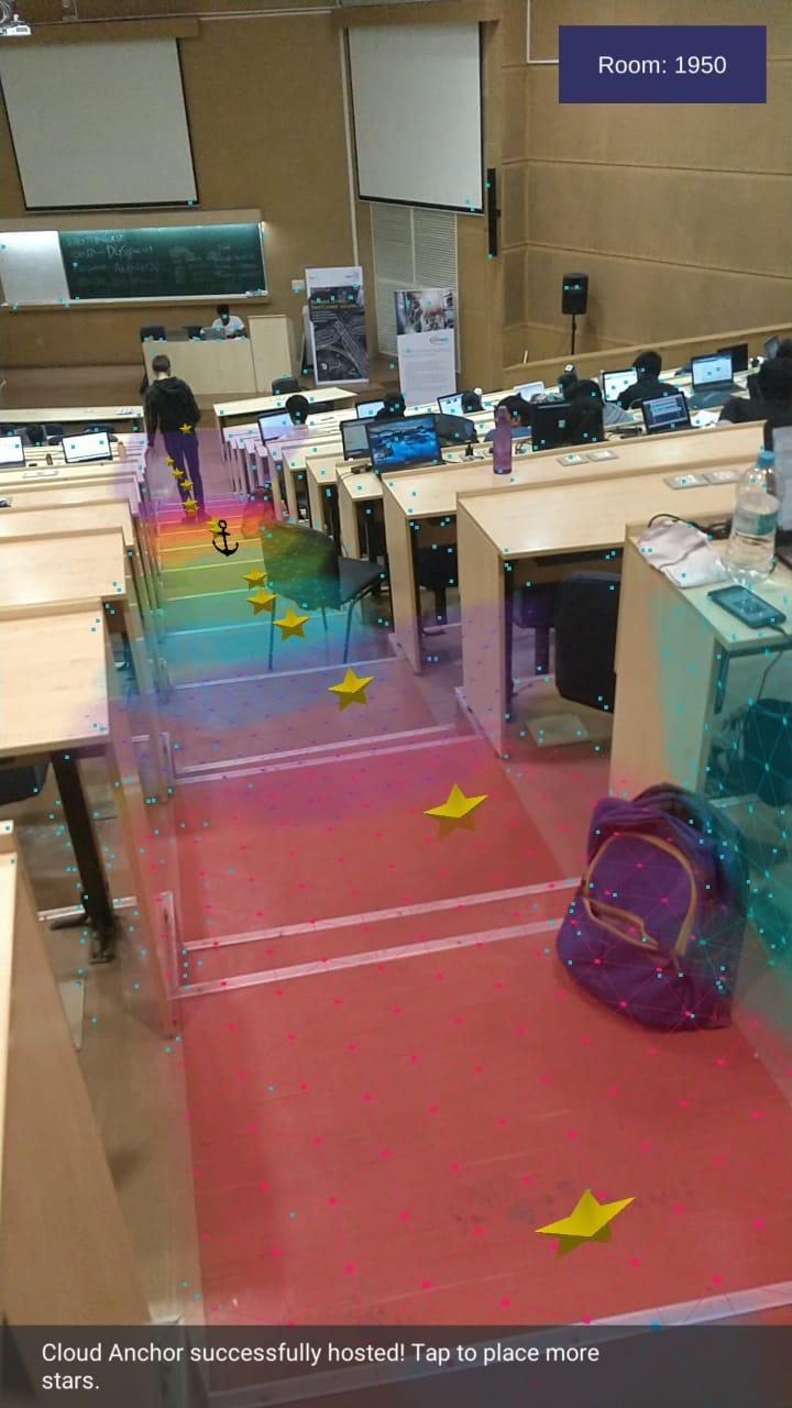
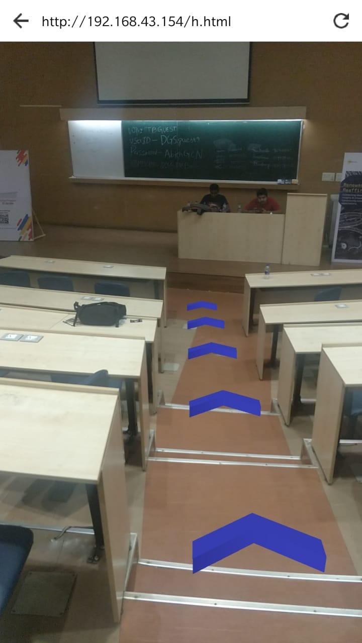
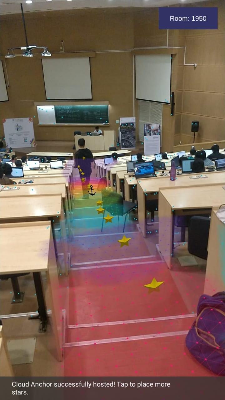
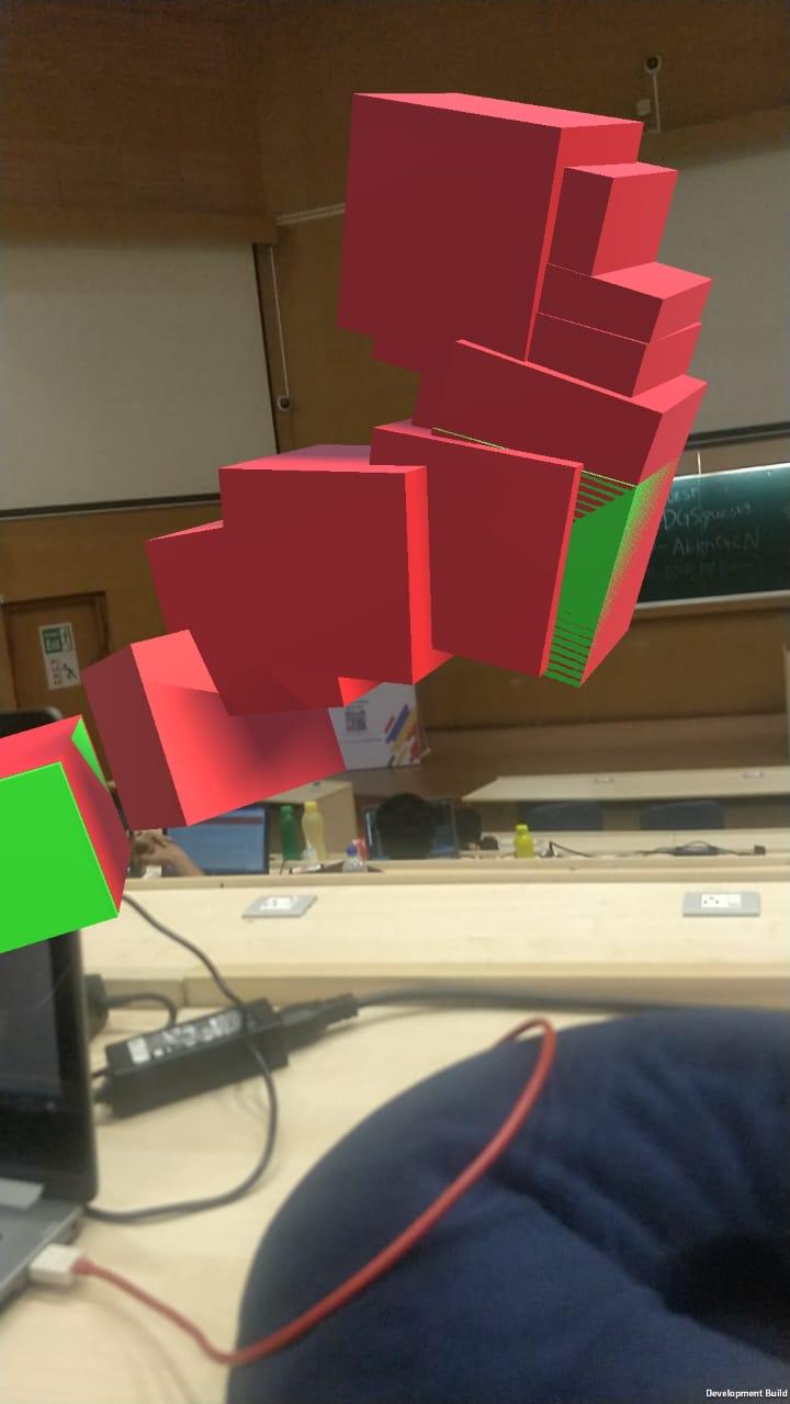
It is often tedious to find a particular path towards a destination in internal conditions. For example, finding a particular building inside the IIT Bombay campus/International airports. Augmented reality can be effective in finding an efficient path towards our destination in unknown places. Maps including AR anchors can be induced using ARCore open source library of google. These anchors when stored on cloud can be distributed using another app to solve the issue. Additional features can be added to help non-native people to translate signs/language using Augmented Reality. It will be very helpful in case of local markets, shopping complexes, airports, etc where native language is prominently used.
Challenges we ran into
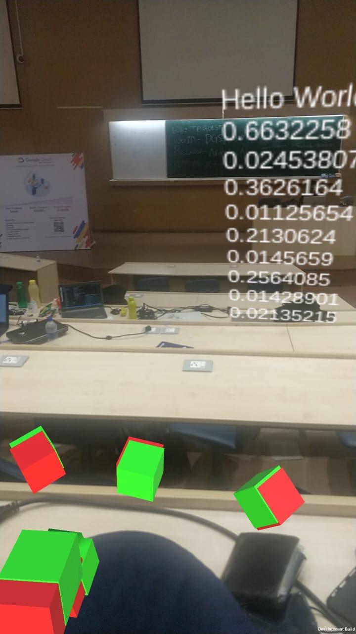
Aligning the markers efficiently to generate a path is an important issue. 3D to 2D conversion is needed to generate a 2D map using 3D vectors. Finding an optimized solution was challenging. We found Vector3 datatype which was used to store XZ plane thereby forming a 2D map. We couldn't build the complete 2D map. But idea to build the map was pretty exciting to develop. Sending HTTP request from Unity Android application was a challenging task. The permissions from Android to access network were needed to solve them.